Typhoons / Cyclones and E-Resilience
A typhoon / cyclone is a term used by meteorologists to describe a rotating, organized system of clouds and thunderstorms that originates over water and has closed, low-level circulation. Typhoons / cyclones can have severe consequences for people and critical ICT infrastructure in Asia and the Pacific. The E-Resilience Toolkit offers insights into a spectrum of available ICT tools and best practices that may benefit policymakers, DRM professionals and vulnerable communities in the Asia-Pacific region to enhance e-resilience and disaster risk management in the context of typhoon / cyclone hazard.
Displaying 15 - 21 of 41 tools and best practices relevant to typhoons / cyclones.
-
The Nationwide Operational Assessment of Hazards is a multidisciplinary research center with the goal of helping reduce the impacts of hazards.
-
The Beidou Navigation Satellite system is used to monitor natural disasters occurring in the Peoples Republic of China.
-
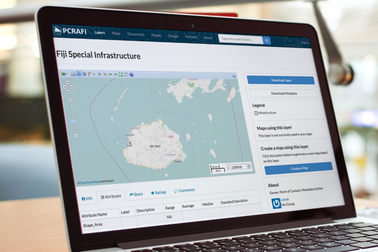
PCRAFI aims to provide the Pacific Island Countries with disaster risk modeling and assessment tools.
-
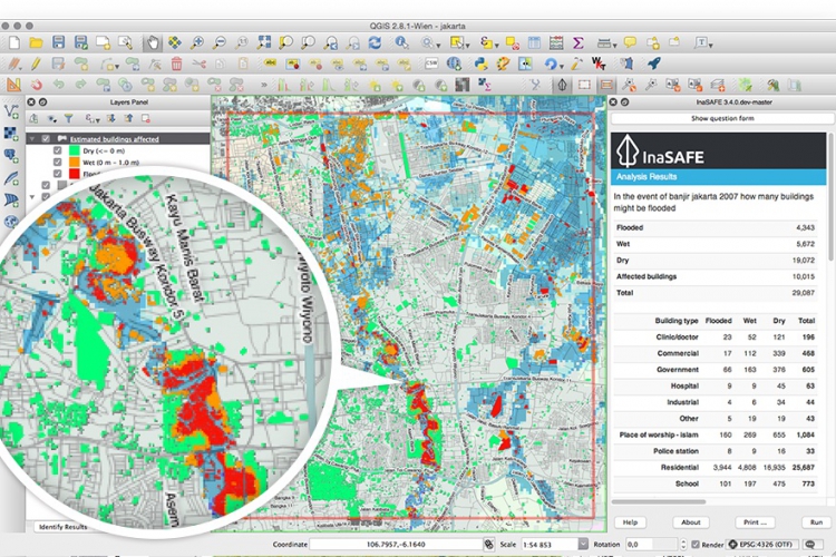
InaSAFE is free software that produces realistic natural hazard impact scenarios for better planning, preparedness and response activities.
-
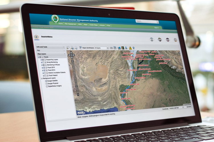
Pakistan Disaster Info is an open source data platform that aims to enable sharing of geospatial datasets and maps on hazards and exposure.
-
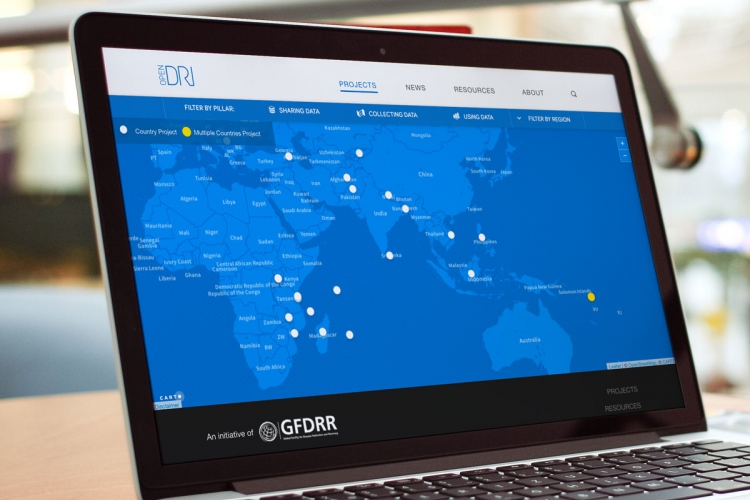
Open Data for Resilience Initiative is designed to reduce vulnerability to natural hazard through data collection and data analysis.
-
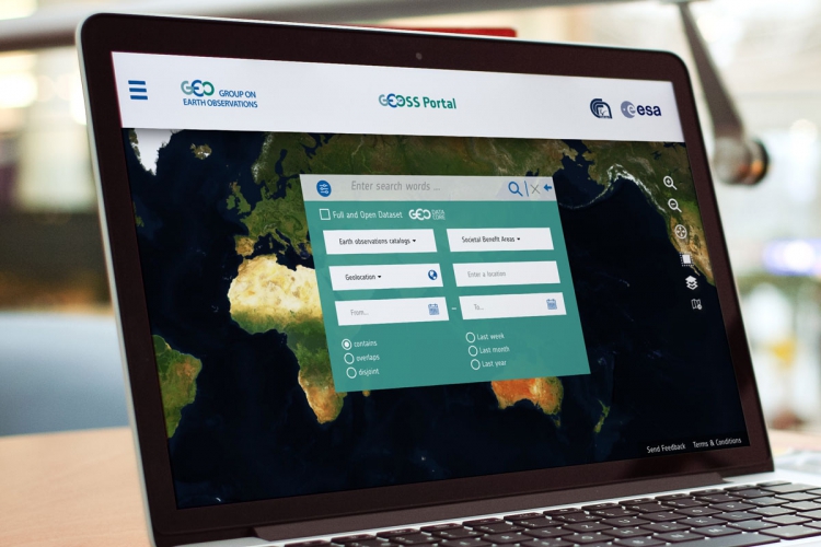
GEOSS is a set of coordinated, independent Earth observation, information and processing systems that interact and offer information to various sectors.