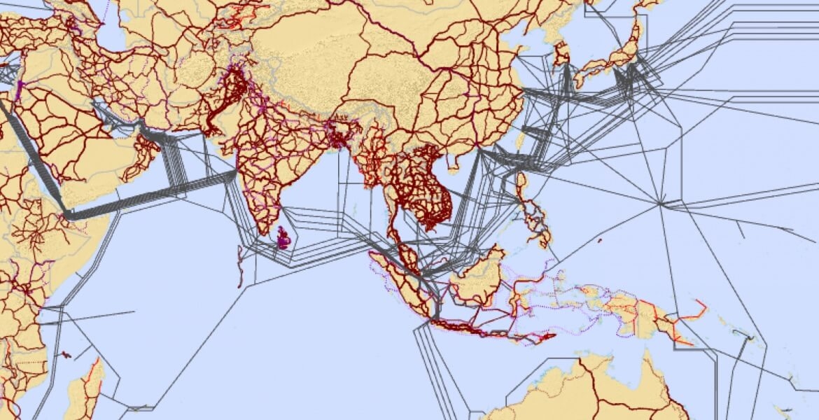
Interactive map of the Asia-Pacific Information Superhighway
ESCAP and ITU have jointly produced groundbreaking interactive maps of the Asia-Pacific Information Superhighway, which will help bridge the digital divide in Asia-Pacific.
The ITU Interactive Terrestrial Transmission / ESCAP Asia-Pacific Information Superhighway Maps are the first ever to show policy makers and investors where the missing links in terrestrial transmission are across the region, assisting ESCAP in its efforts to bring affordable Information and Communications Technology (ICT) and broadband connectivity for all.
By mapping regional terrestrial routes, policy makers and investors will be provided with information on missing links and investment opportunities that will contribute ultimately to the development of a coherent Asia-Pacific Information Superhighway.
The maps also feature the region’s main transport networks, the Asian Highway and the Trans-Asian Railways as it is critical that fiber-optic cables can be laid in coordination with the construction of railways and roads to ensure appropriate cost savings.


