E-Resilience: Preparedness
Disaster preparedness refers to measures taken to prepare for and reduce the effects of disasters. That is, to predict and, where possible, prevent disasters, mitigate their impact on vulnerable populations and critical ICT infrastructure, and respond to and effectively cope with their consequences. The E-Resilience Toolkit offers insights into a spectrum of available ICT tools and best practices that may benefit policymakers, DRM professionals and vulnerable communities in Asia and the Pacific to enhance e-resilience and disaster risk management in the context of preparedness.
Displaying 1 - 7 of 10 tools and best practices relevant to preparedness.
-
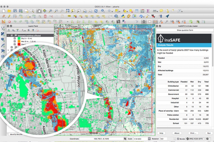
InaSAFE is free software that produces realistic natural hazard impact scenarios for better planning, preparedness and response activities.
-
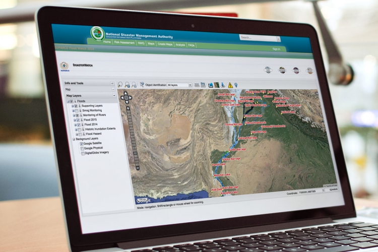
Pakistan Disaster Info is an open source data platform that aims to enable sharing of geospatial datasets and maps on hazards and exposure.
-
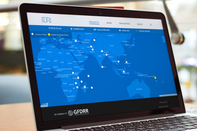
Open Data for Resilience Initiative is designed to reduce vulnerability to natural hazard through data collection and data analysis.
-
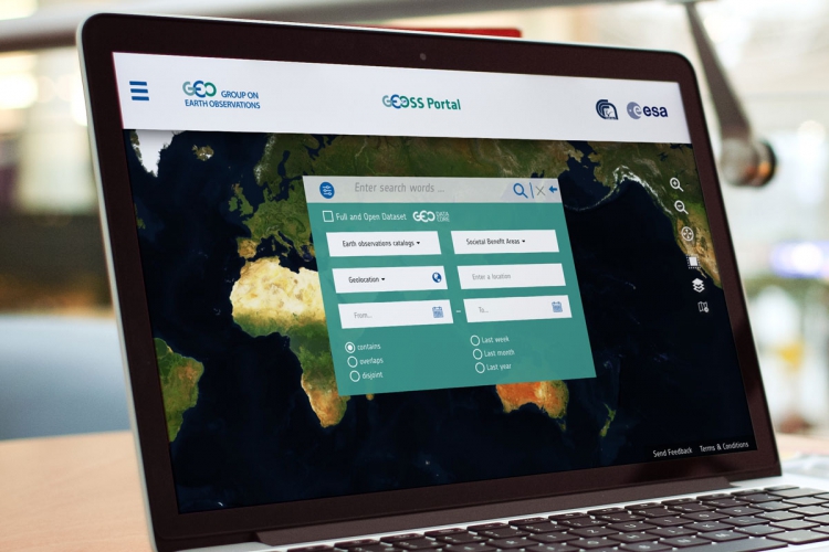
GEOSS is a set of coordinated, independent Earth observation, information and processing systems that interact and offer information to various sectors.
-
The Sentinel Asia initiative is a collaborative effort for applying remote sensing and Web-GIS technologies to support disaster management in the Asia-Pacific region.
-
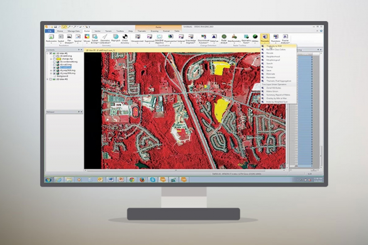
ERDAS IMAGINE is a geospatial data authoring system, including tools for remote sensing, photogrammetry and GIS processing.
-
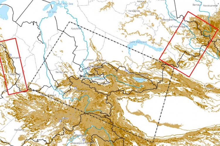
CAFRFFG entails the development and implementation of regional flash flood guidance and early warning systems.