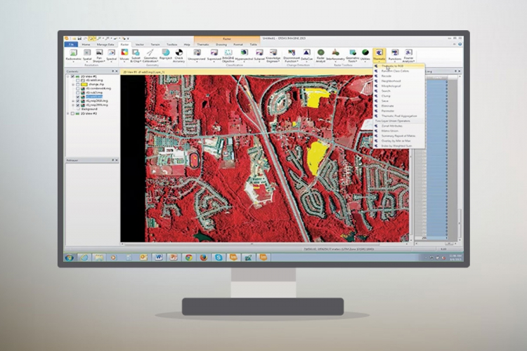
ERDAS IMAGINE Geospatial Data Authoring System
East and North-East AsiaSouth-East AsiaSouth and South-West AsiaNorth and Central AsiaPacific
EarthquakesFloodsTyphoons / CyclonesLandslidesGlacial Lake Outburst FloodsExtreme Weather
Know Your RiskContingency PlanningHumanitarian ResponsePreparedness
Risk PreventionRisk ReductionPreparedness and Response
EarthquakesFloodsTyphoons / CyclonesLandslidesGlacial Lake Outburst FloodsExtreme Weather
Know Your RiskContingency PlanningHumanitarian ResponsePreparedness
Risk PreventionRisk ReductionPreparedness and Response
ERDAS IMAGINE is a geospatial data authoring system, including tools for remote sensing, photogrammetry and GIS processing.