E-Resilience: Preparedness
Disaster preparedness refers to measures taken to prepare for and reduce the effects of disasters. That is, to predict and, where possible, prevent disasters, mitigate their impact on vulnerable populations and critical ICT infrastructure, and respond to and effectively cope with their consequences. The E-Resilience Toolkit offers insights into a spectrum of available ICT tools and best practices that may benefit policymakers, DRM professionals and vulnerable communities in Asia and the Pacific to enhance e-resilience and disaster risk management in the context of preparedness.
Displaying 1 - 7 of 20 tools and best practices relevant to preparedness.
-
The DART real-time tsunami monitoring systems positioned throughout oceans play a key role in tsunami forecasting.
-
The smartphone application Arko aims to provides information on major rains, typhoons and floods in the Philippines.
-
The Nationwide Operational Assessment of Hazards is a multidisciplinary research center with the goal of helping reduce the impacts of hazards.
-
The Beidou Navigation Satellite system is used to monitor natural disasters occurring in the Peoples Republic of China.
-
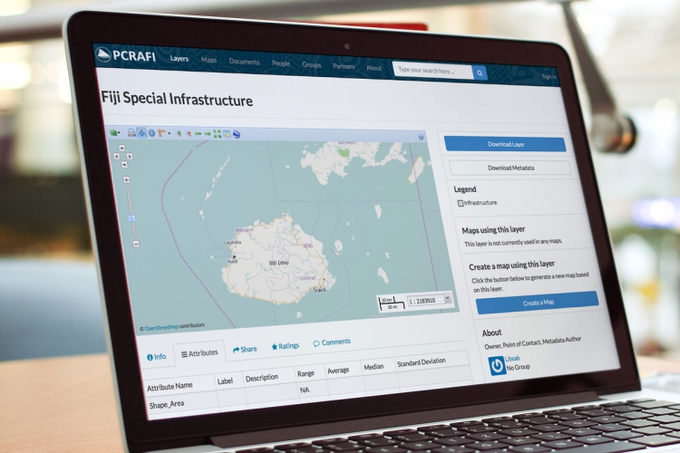
PCRAFI aims to provide the Pacific Island Countries with disaster risk modeling and assessment tools.
-
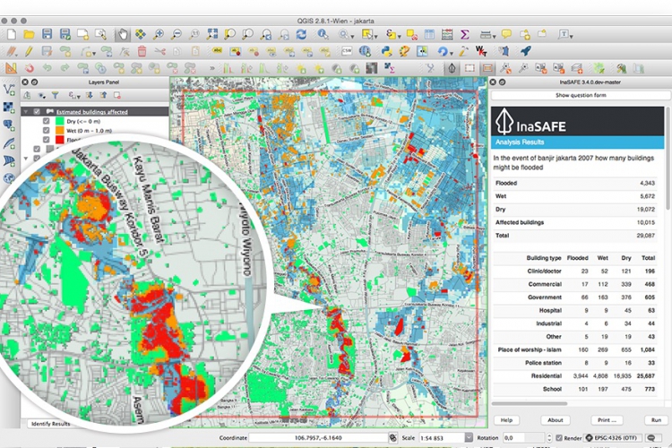
InaSAFE is free software that produces realistic natural hazard impact scenarios for better planning, preparedness and response activities.
-
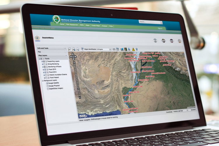
Pakistan Disaster Info is an open source data platform that aims to enable sharing of geospatial datasets and maps on hazards and exposure.